
Project Name: Kinangop Land Surveying and Feasibility Study
Overview
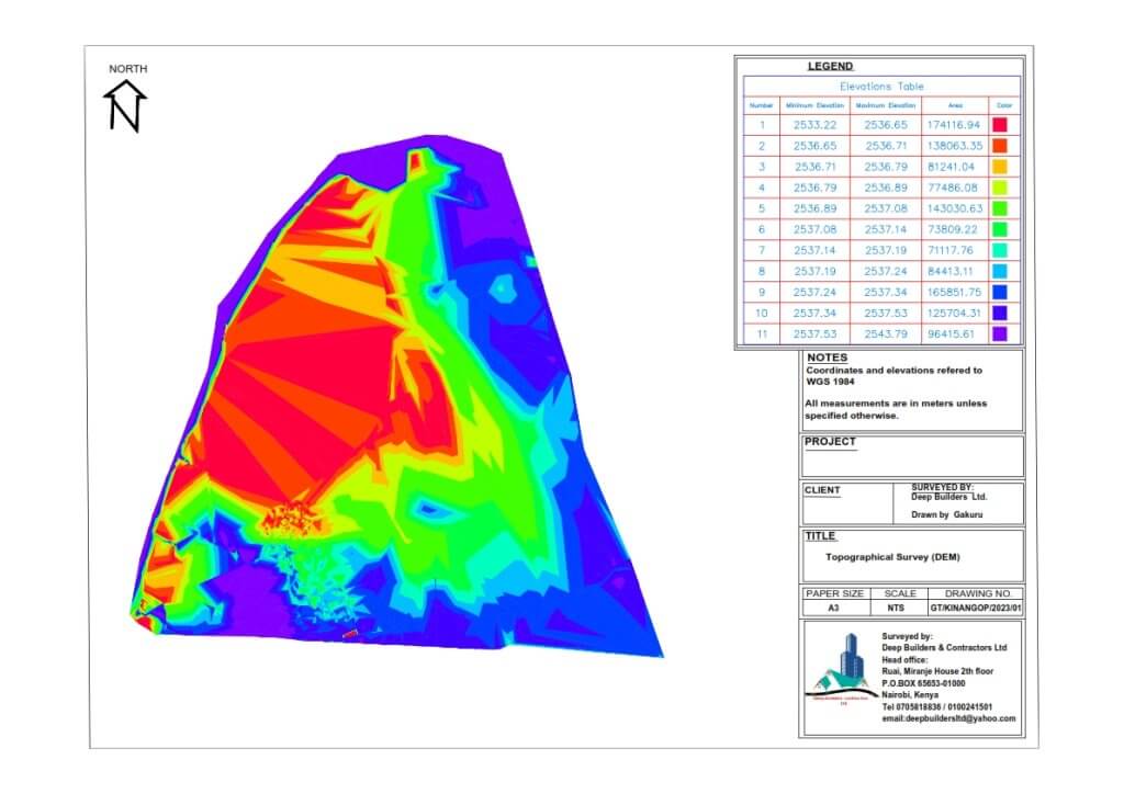
Deep Builders Contractors Limited undertook a comprehensive land surveying, feasibility study, and topographic survey of a 330-acre parcel of land in Kinangop. The purpose of the project was to assess the suitability of the land for a proposed development project and gather essential data for planning and design purposes.

Scope of Work
Land Surveying:
- Conducting boundary surveys to accurately define the property lines and legal boundaries of the 330-acre land parcel.
- Identification and mapping of existing features such as roads, buildings, utilities, and natural landmarks within the survey area.
- Establishment of reference points and control stations to facilitate precise measurement and mapping of the land.
Feasibility Study:
- Analysis of the land’s physical characteristics, including terrain, soil composition, and drainage patterns, to determine its suitability for the proposed project.
- Evaluation of regulatory requirements, zoning regulations, environmental considerations, and potential constraints affecting the development feasibility.
- Assessment of market demand, economic viability, and financial feasibility to determine the project’s potential return on investment.
Topographic Survey:
- Collection of elevation data and contour information to create a detailed topographic map of the land.
- Identification of natural and man-made features such as hills, valleys, streams, and vegetation cover to assess the site’s terrain and landscape.
- Generation of digital terrain models (DTMs) and cross-section profiles to aid in site planning, grading, and infrastructure design.
Technical Analysis
Surveying Techniques:
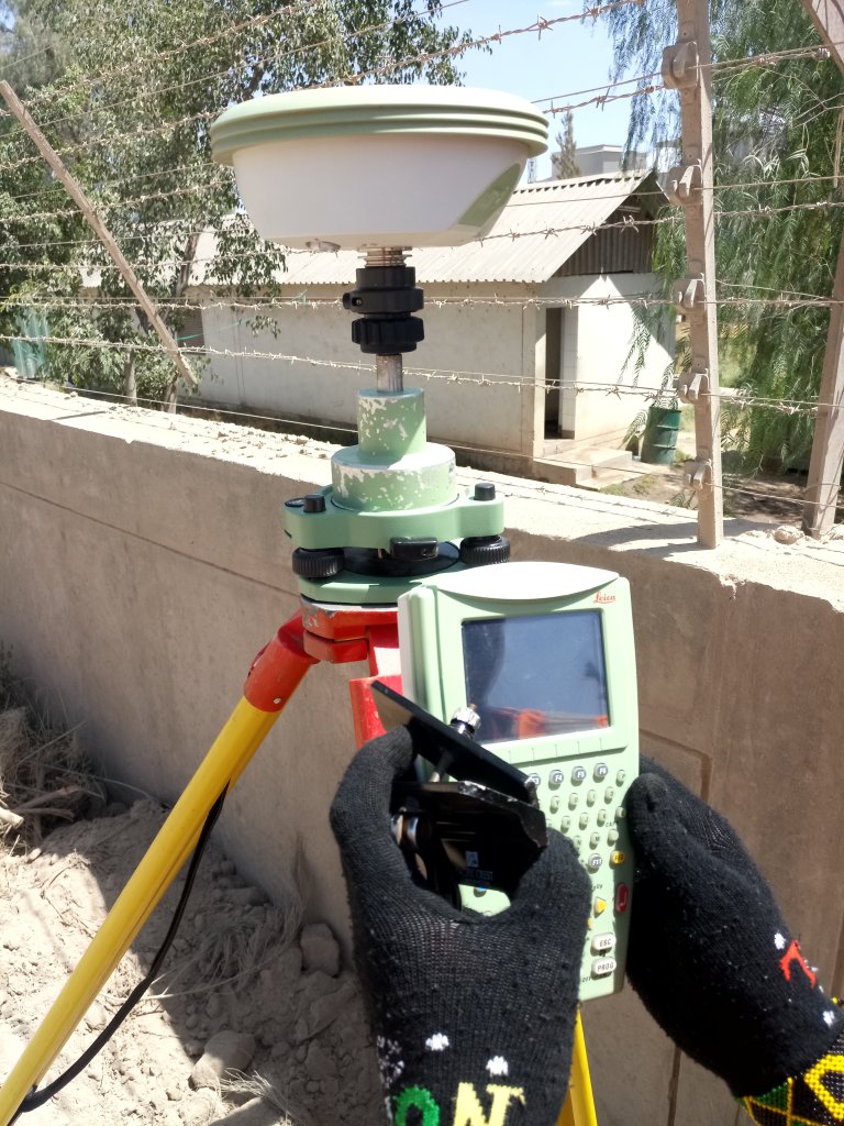
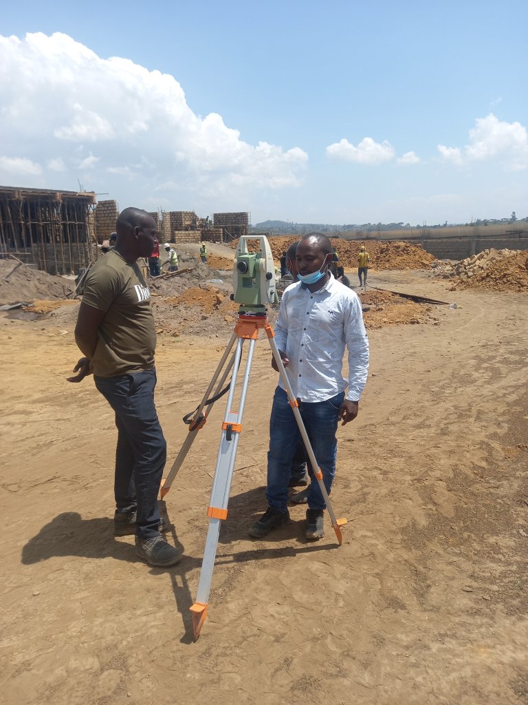
- Utilization of advanced surveying equipment, including total stations, GPS receivers, and drones, to collect accurate and reliable data.
- Integration of geographic information systems (GIS) technology to capture, analyze, and visualize spatial data for informed decision-making.
Feasibility Analysis:
- Engagement of multidisciplinary experts, including civil engineers, environmental consultants, and urban planners, to conduct a comprehensive feasibility assessment.
- Utilization of GIS mapping, geospatial analysis, and computer-aided design (CAD) software to model and simulate various development scenarios.
Duration: The Kinangop Land Surveying, Feasibility Study, and Topographic Survey project had a duration of 2 weeks. This timeframe allowed for efficient data collection, analysis, and reporting to facilitate timely decision-making and project planning.
Conclusion: Through the completion of the Kinangop Land Surveying and Feasibility Study, Deep Builders Contractors Limited provided valuable insights and data to support the planning and development of the proposed project. The meticulous surveying, feasibility analysis, and topographic mapping conducted within the 2-week timeframe exemplify the company’s commitment to delivering accurate, reliable, and actionable information to its clients.